|
|
 |
|
|
| Saskatchewan
|
|
 Gov.
of Saskatchewan website Gov.
of Saskatchewan website |
|
| Saskatchewan
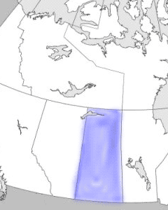
is the only province with entirely artificial boundaries. It
lies between the 49th and 60th parallels of latitude, bordered
by the US and the Northwest Territories, and between long 101º30'
and 102º W and 110º W, bordered by Manitoba and Alberta. It
was created from the North-West Territories in 1905, at the
same time as Alberta, and shares with that province the distinction
of having no coast on salt water. The name, which was first
used officially for a district of the North-West Territories
in 1882, is derived from an anglicized version of a Cree word
denoting a swiftly flowing river, which appears in a variety
of spellings in early records. |
|
|
| When the prairie
region was being made into provinces, the largest part of the
old district bearing the name was incorporated into the new
province. Saskatchewan, unlike the 3 provinces immediately east
of it, is still the same size as it was when created: in round
numbers, 1225 km long, 630 km wide across the south and 445
km across the north. Its area is 652 330 km2, of which 12.5%
is fresh water. |
|
 |
|
Detailed
map (141 KB)

|
|