|
|
 |
|
|
| Prince
Edward Island |
|
 Government
of P.E.I. website Government
of P.E.I. website |
|
| Prince
Edward Island, Canada's seventh and smallest province, is affectionately
referred to by its people as "the Island." Known to its earliest
settlers, the Micmac, as Abegweit ("cradle in the waves"), the
province has other names that highlight aspects of its history
and character: the "Garden of the Gulf," the "Million-Acre Farm,"
the "Cradle of Confederation" or, less eloquently, "Spud Island." |
|
|
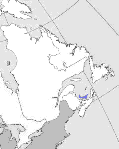
| Situated in the Gulf of St Lawrence
and separated from Nova Scotia and New Brunswick by the shallow
Northumberland Strait, the Island has a crescent shape and extends
for 224 km, with a width ranging from 4 to 60 km. The Island
makes up only 0.1% of Canada's total land area, and although
the population is less than 0.5% of the Canadian total, it is
the most concentrated in the country, with nearly 23 persons
per square kilometre. In spite of its high density the Island
is the most rural province in the nation as only 39.9% of the
population is classed as urban. |
|
 |
|
Detailed
map (101 KB)

|
|