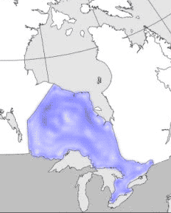
Ontario
is Canada's most populous, richest and second-largest province;
it stretches from Middle Island in Lake Erie in the south (41º
40' N lat), Canada's southernmost point, to the Manitoba-Ontario
border on Hudson Bay in the north (56º 51' N lat) and from the
banks of the St Lawrence River in the east (74º 20' W long)
to the Manitoba border in the west (95º 09' W long). For the
most part Ontario's frontiers run through the lakes and rivers
of the Great Lakes system on the south, and along the Ottawa
River to the east; only in the northeast and northwest do borders
follow geographical abstractions.
The name Ontario, from an Iroquoian
word sometimes translated as meaning "beautiful lake" or "beautiful
water," is apt, since lakes and rivers occupy one-sixth of the
province's total area of just over one million km2. The word
was first applied in 1641 to the easternmost of the Great Lakes,
and "Old Ontario" was used to refer to the southern portion
of land nearest the lake and was applied to the whole province
in 1867.